
I have to be honest here. I am not a geography teacher. Why am I making printable US maps you ask? Because a friend asked me to 😂
And I figured if one teacher was in need, there were many others! So I made maps. Then I kept making maps.
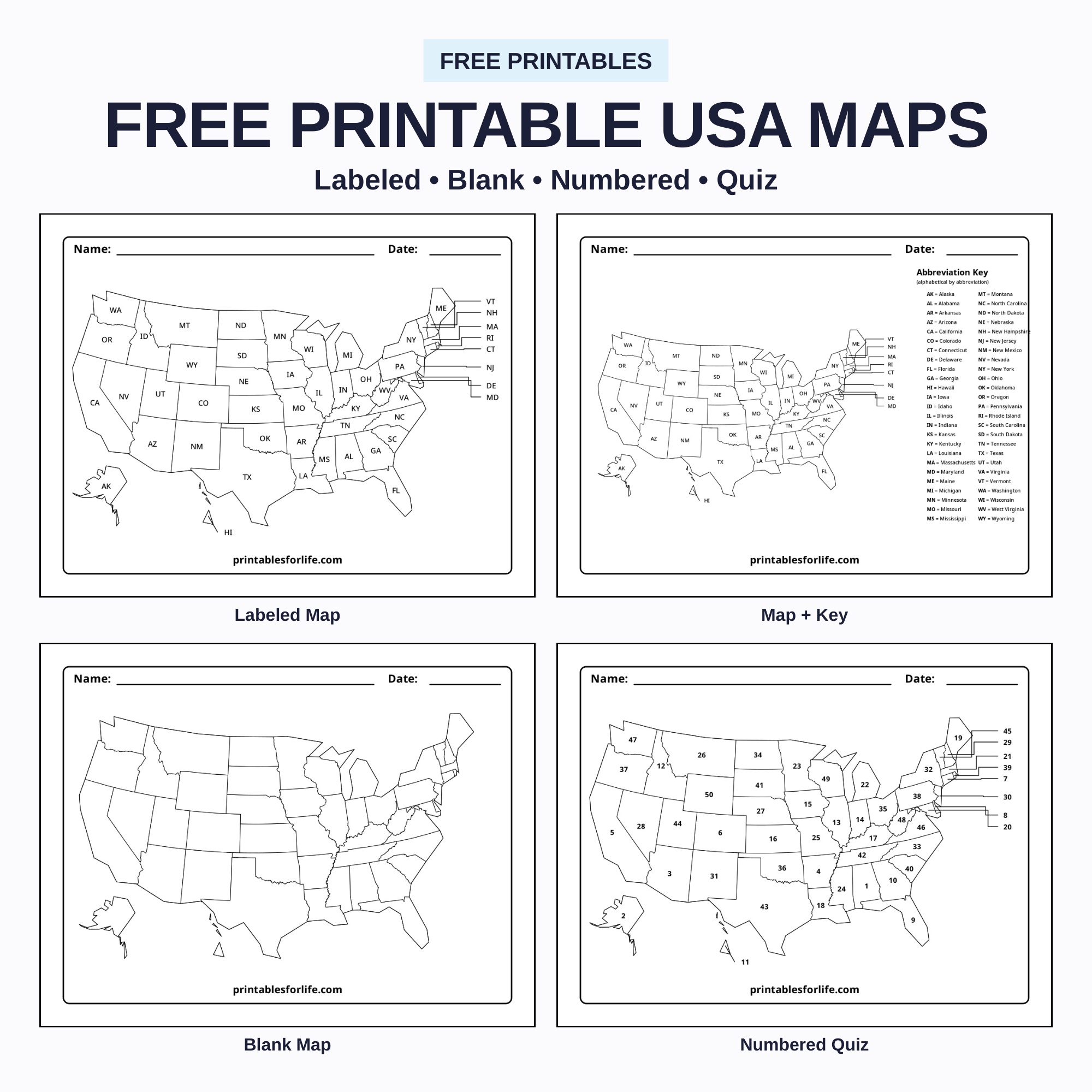
What you’re getting is a full set of printable US geography worksheets:
- labeled national maps
- blank us map outlines and state outlines
- numbered quizzes with answer keys
- regional sets for:
- the West
- the Midwest
- the South
- the Northeast
- individual maps for all 50 states.
Every page is black-and-white line art with name and date headers, sized for US Letter paper.
Grab the free PDFs below 👇 Downloads are grouped near the bottom so you can print just the part you need.
THE BEES ARE BUZZING
☀️ Summer is Here! 🌴
Free Camping Bucket List (50 Fun Ideas for Families)
Ultimate Camping Packing List: Printable Checklist

Free Printable Summer Routine Checklist for Kids (Morning, Afternoon & Evening)
What’s Included
- Full USA maps with postal abbreviation labels
- An alphabetical abbreviation key page
- Blank map of the United States with state lines
- Blank USA outline with no internal borders
- Numbered map quizzes, response sheets and answer keys
- Scrambled-number versions for a harder quiz
- Regional sets for West, Midwest, South and Northeast
- A 450-page workbook covering all 50 states
- Individual nine-page packets for every single state
- Nine collection PDFs organized by worksheet type
USA Map With State Abbreviations

The labeled version puts each state’s two-letter abbreviation right on the map. Bigger states get their labels inside.
The tiny Northeastern states get callout lines pointing outward, because trying to fit “RI” inside Rhode Island at worksheet scale is a losing battle. Alaska and Hawaii show up as enlarged insets so kids can actually see them.

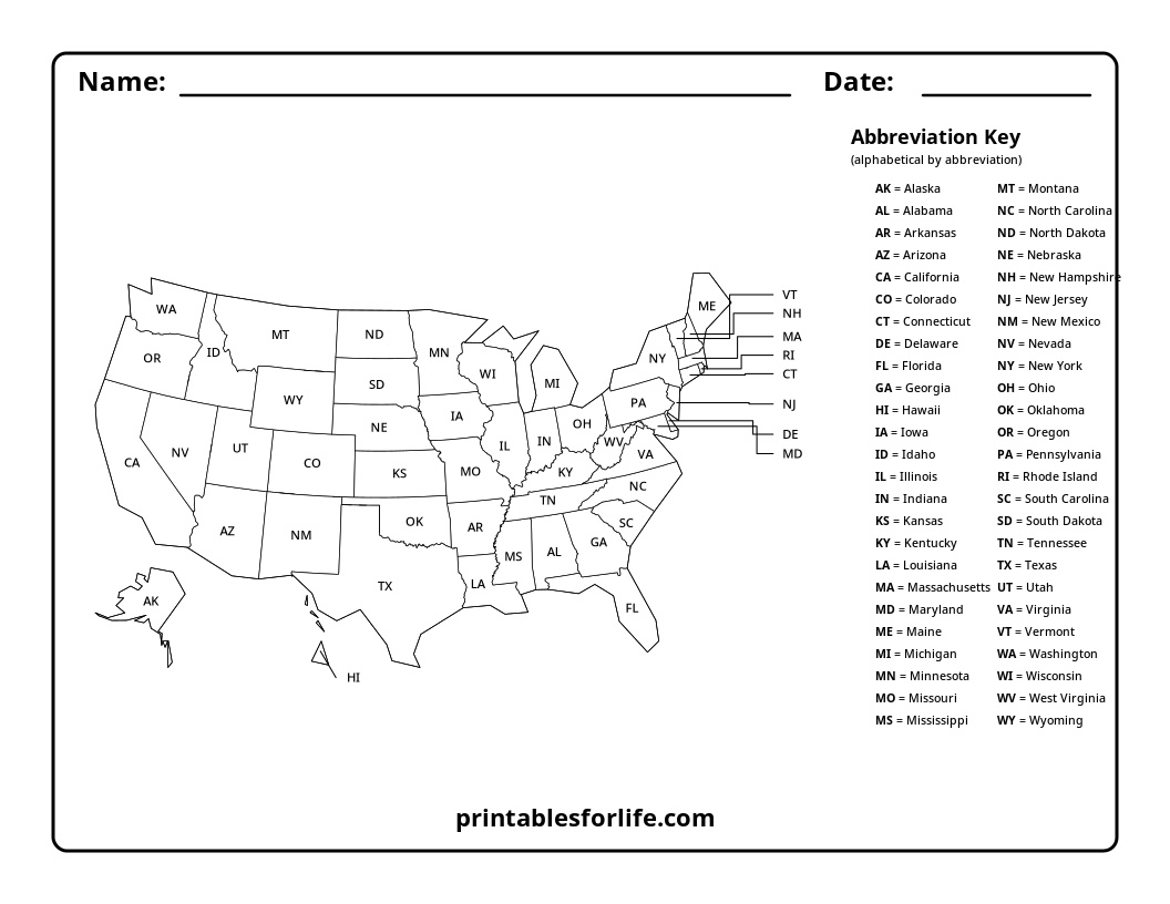
Labeled USA Map With Legend

The second version is that same labeled map plus an alphabetical key running down the right side.
AK = Alaska, AL = Alabama, and so on.
This one lives in binders as a reference sheet.
Blank USA Map With State Lines

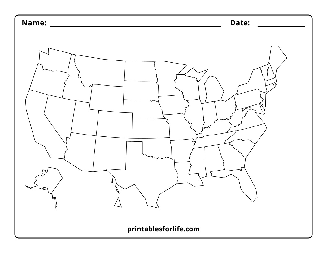
Then there’s the blank map of the United States with states outlined but nothing labeled. This is the workhorse.
- Write state names
- Add abbreviations
- Color states or regions
- Practice from memory
- Create custom geography activities
- Blank USA outline with no state lines
Plain Outline of the US Template

Last is the plain outline map of USA with no state lines at all. Just the shape of the country. Use it for:
- Drawing regions
- Adding physical features
- Marking travel routes
- Labeling bodies of water
- Creating custom political or historical maps

USA Map Quiz Activities
USA State Identification Activities
Numbered USA map

he numbered map assigns every state a number in alphabetical order by full state name. Alabama is 1, Alaska is 2, Arizona is 3. Students get a structured blank map of the United States with numbers instead of names.
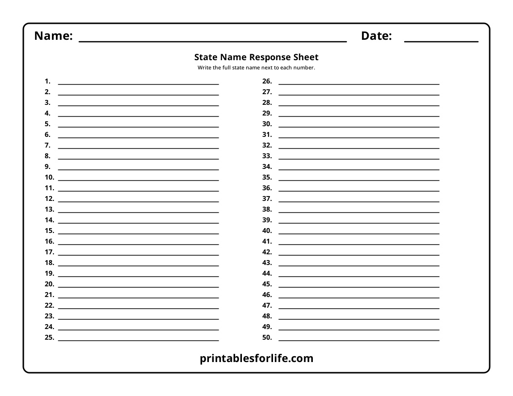
The response sheet is a separate page with numbered lines from 1 to 50. Keeping it separate matters more than you’d think. Kids get real room to write, the map stays uncluttered, and you can reuse the map next year.

There’s a full answer key too. And when alphabetical order starts feeling like a shortcut instead of a skill, switch to the scrambled numbered map. Same activity, numbers assigned randomly, no pattern to lean on. It has its own answer key.
Teacher Tip: Run the alphabetical version first, then the scrambled one two weeks later. The score gap tells you exactly who memorized states and who memorized the alphabet. 😄

Scrambled numbered USA map
A second numbered-map activity where the numbers are not assigned alphabetically.
This makes the activity more challenging because students cannot rely on alphabetical order to determine the answers.


Printable USA Region Maps
We created separate map sets for the four major U.S. regions:
- West
- Midwest
- South
- Northeast
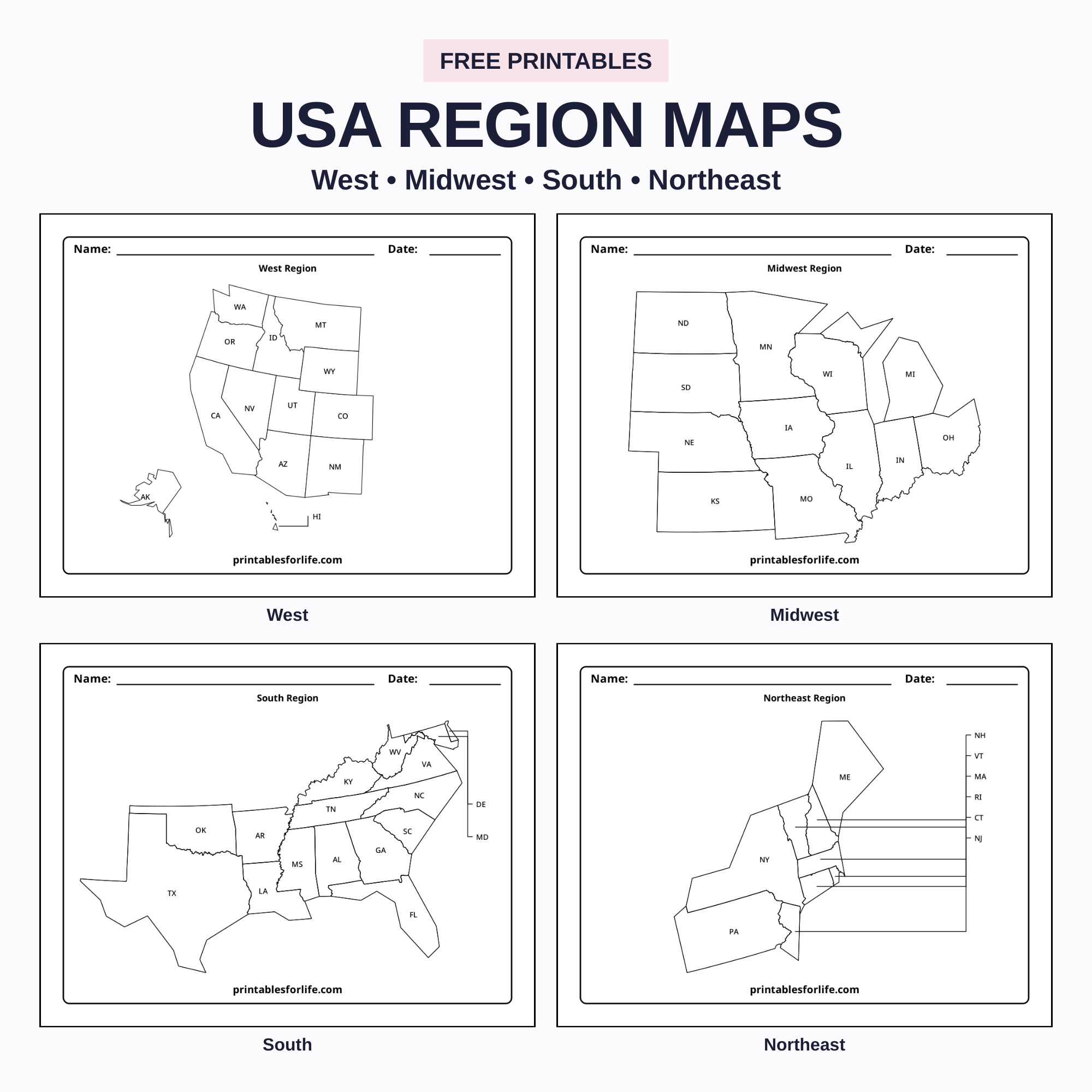
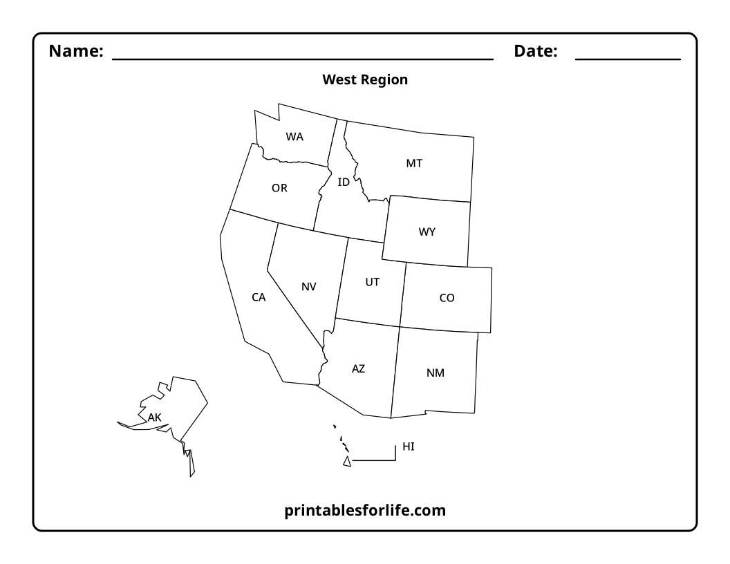
Each region includes the same main learning formats. For each region, there is:
- A map labeled with state abbreviations
- A map with an abbreviation key
- A blank map with state lines
- A numbered map
- A numbered response sheet
- A numbered answer key
- A scrambled numbered map
- A scrambled answer key
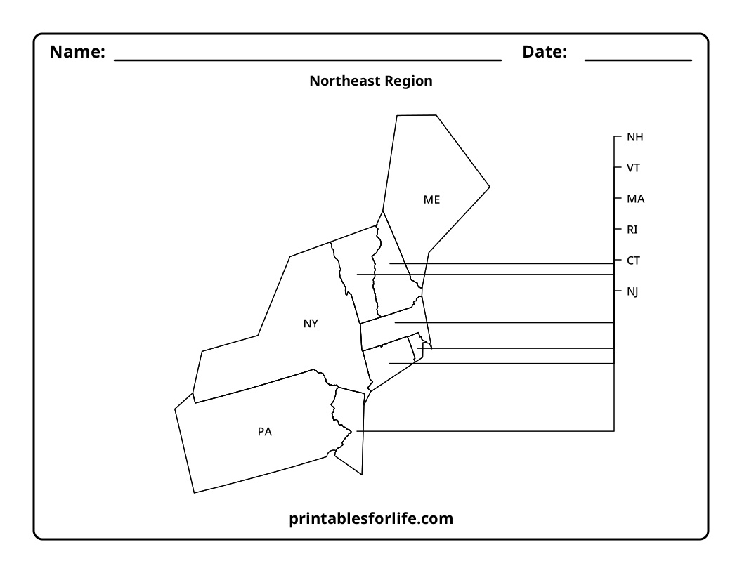
The small Northeast states use external labels with leader lines. Every regional map is scaled to fill as much of the page as possible, with legends kept inside the border.
If you teach one region at a time, or you specifically need a blank map of the United States east coast for a colonial unit, these are the pages you want.


Download & Print
Download the free regional state maps.
Maps for All 50 States
Here’s where it gets big. Every state gets nine worksheet variations, alphabetically, for 450 pages total.
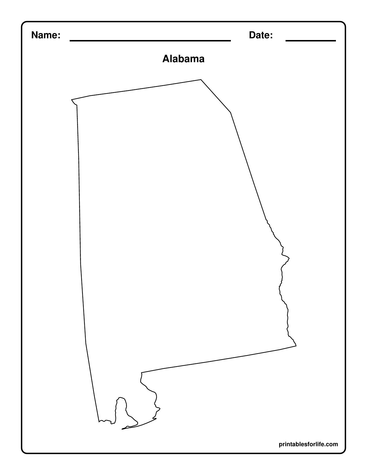
State outline — a large blank shape for coloring, shape recognition, or adding landmarks
Outline with labeled capital — capital marked with a star and named
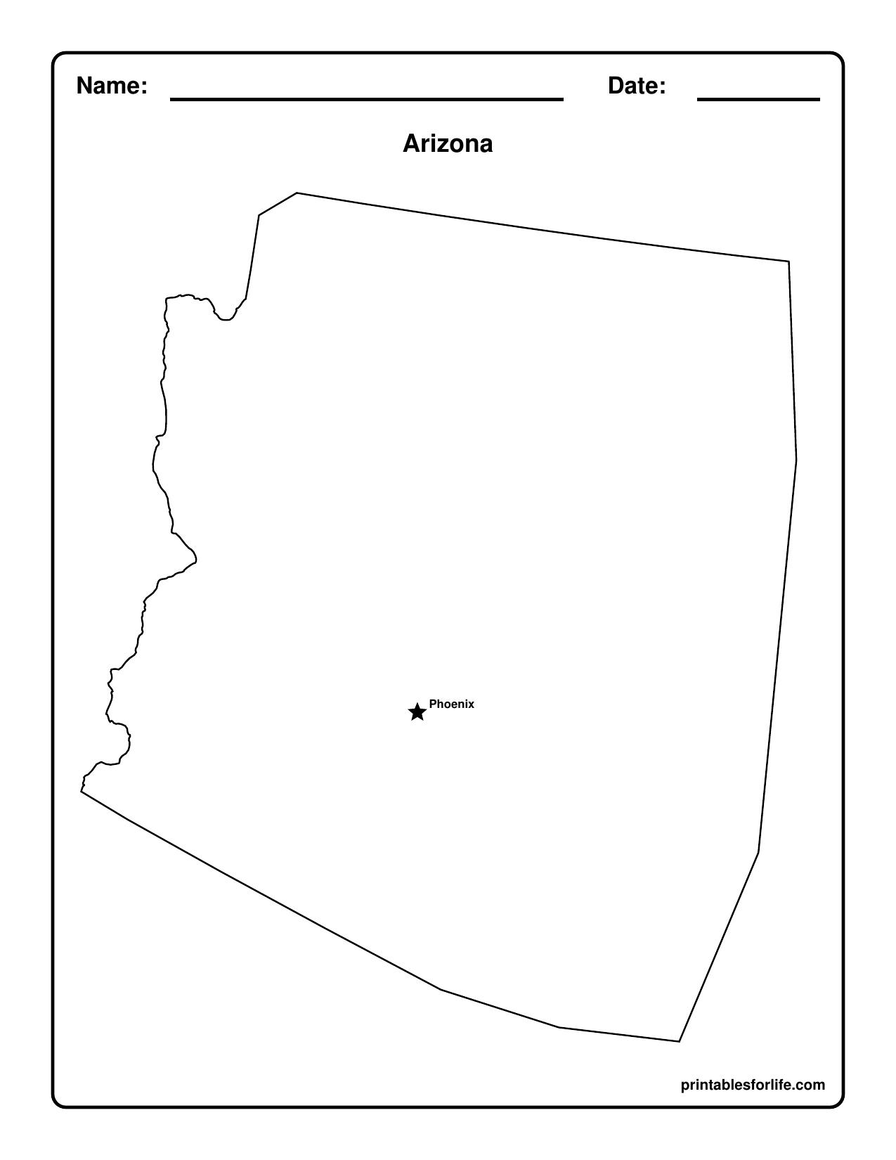
Outline with unlabeled capital star — the star is there, the name isn’t
Capital and major cities labeled — star for the capital, dots for key cities

Capital and major cities unlabeled — same markers, labels removed

County lines, no labels — boundaries only

County lines with county names — fully labeled
County lines with unlabeled capital and city markers — combined practice page

The full reference map — counties, county names, capital and cities all labeled
That’s a built-in difficulty ladder for every state in the country. Start with the outline, end with the county-level reference sheet.A large blank outline of the state.
State Capital and Major City Maps
The capital always gets a star. Major cities get dots. That stays consistent across all 50 states so kids aren’t relearning the legend every time.
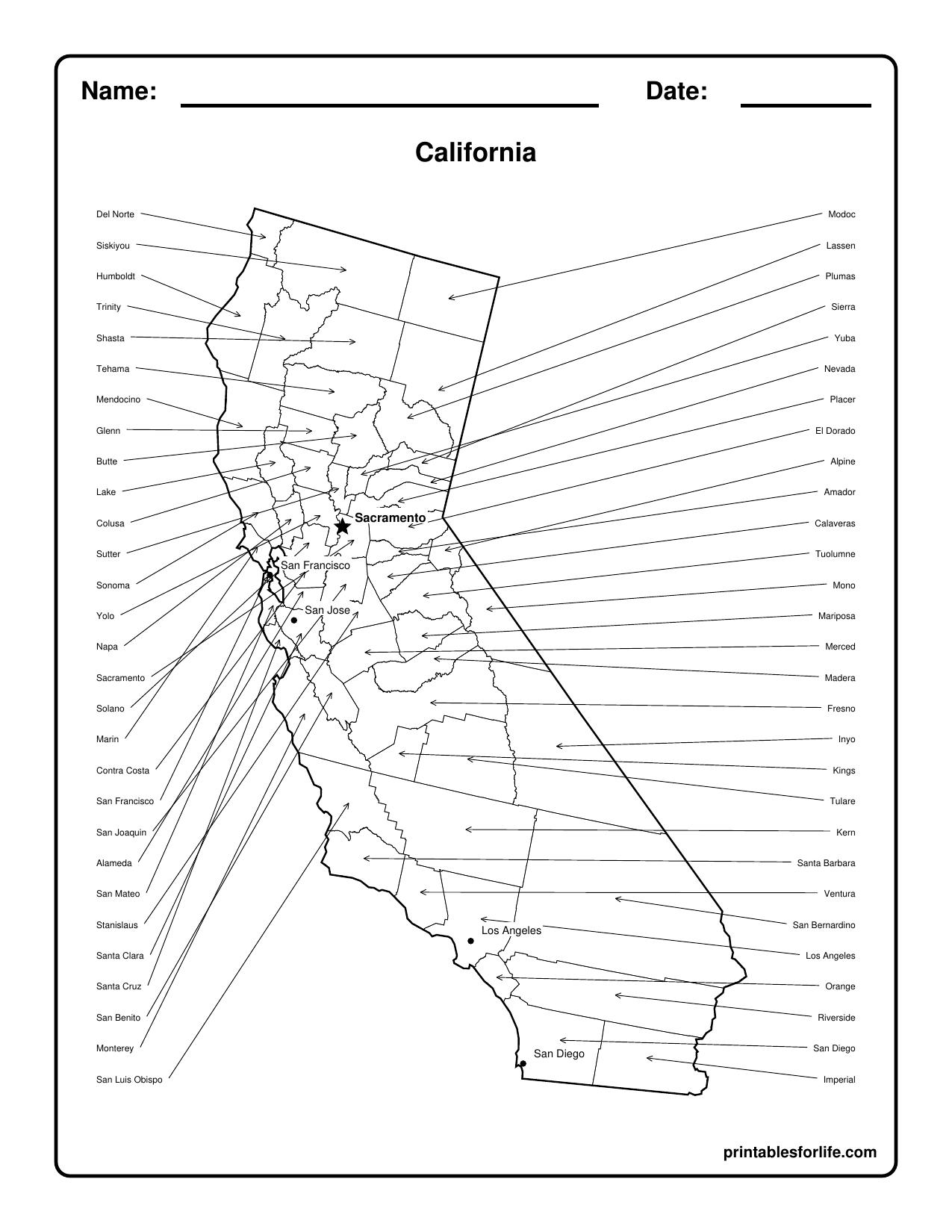
I kept city selection deliberately short. Five or six per state, not twenty. California shows Sacramento, San Francisco, San Jose, Los Angeles and San Diego. That’s it. Overcrowded maps stop being teaching tools and start being wallpaper.

Every labeled page has an unlabeled twin. Same stars, same dots, no names. Teach with one, quiz with the other. If you want a blank map of the United States with capitals at the national level, pair the state pages with the blank national outline and have kids plot capitals themselves.
Printable County Maps
County maps are the thing I couldn’t find anywhere else, which is mostly why I built them.
Each state has an unlabeled county version where kids can label counties, color specific ones, or just mark where they live. Local history units love this page.
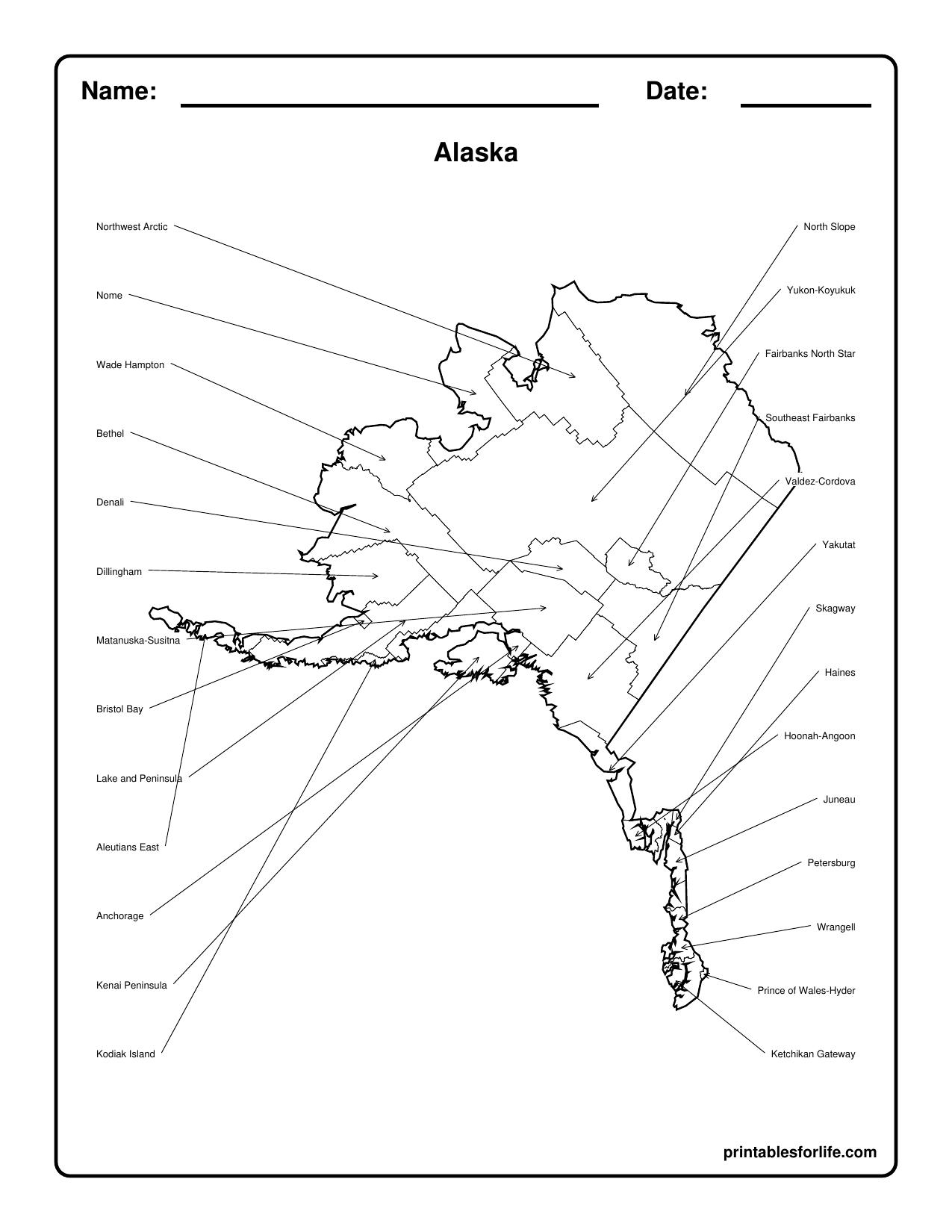
The labeled version names every county or county equivalent. For genuinely difficult states like Alaska and California, I moved most county labels outside the map with leader arrows. Alaska’s boroughs and census areas are a nightmare to label in place. Now they’re readable.
These pair nicely with printable graph paper if kids are sketching their own regional maps alongside the county work.
How to Use the Maps
- State of the week — print one state packet Monday, work through the nine pages by Friday. Slots right into classroom calendar time without adding prep.
- Geography centers — numbered map at one station, response sheet at another, answer key for self-checking. Rotate it with a hundreds chart station and you’ve filled a morning.
- Homeschool units — regional sets work well for a four-week rotation. Track it in a student planner so nobody loses the thread.
- Travel studies — blank outline map, mark every state you’ve driven through. My boys have colored in four. They’re very proud of those four.
- Assessment — alphabetical numbered quiz first, scrambled version later.
- Handwriting practice that isn’t boring — writing 50 state names is real penmanship work. Back it with handwriting paper if letter formation still needs support.
- Classroom decor — print the labeled national map at full size for the wall. More classroom decor printables here if you’re building out a wall.
If you have younger kids who just want to color the state shapes, the plain outline pages work beautifully, and Color and Trace has more coloring and tracing pages for that age group.
Who It’s For
- Elementary teachers running a US geography or regions unit
- Middle school social studies teachers who need quiz pages with answer keys already made
- Homeschool parents doing state-of-the-week or a 50-state year
- Parents prepping for a road trip who want kids tracking the route
- Anyone teaching local history who needs county-level maps 🗺️
Printing Instructions
- Print on standard US Letter paper
- Leave orientation as provided. Some states are portrait, some landscape, based on which fits the shape better
- Black-and-white printing is all you need. No color anywhere
- Choose “actual size” for best results. “Fit to page” works too but shrinks the margins slightly
- Every page has a 0.5-inch margin and a rounded border, so nothing gets clipped
Ways to Download the Maps
Four options, because printing 450 pages when you needed Ohio is nobody’s idea of a good afternoon:
- The complete 50-state workbook — all 450 pages, alphabetical
- One PDF per state — nine-page packets, all 50 zipped together
- Alabama
- Alaska
- Arizona
- Arkansas
- California
- Colorado
- Connecticut
- Delaware
- Florida
- Georgia
- Hawaii
- Idaho
- Illinois
- Indiana
- Iowa
- Kansas
- Kentucky
- Louisiana
- Maine
- Maryland
- Massachusetts
- Michigan
- Minnesota
- Mississippi
- Missouri
- Montana
- Nebraska
- Nevada
- New Hampshire
- New Jersey
- New Mexico
- New York
- North Carolina
- North Dakota
- Ohio
- Oklahoma
- Oregon
- Pennsylvania
- Rhode Island
- South Carolina
- South Dakota
- Tennessee
- Texas
- Utah
- Vermont
- Virginia
- Washington
- West Virginia
- Wisconsin
- Wyoming
- Collection PDFs by page type — nine PDFs, each with one page for all 50 states
- State outlines
- States with capitals
- States with unlabeled capital stars
- States with major cities
- States with unlabeled major cities
- States with counties
- States with unlabeled counties
- States with unlabeled counties and major cities
- State full reference map (labeled counties, capital, and major cities)
You Might Also Like
50+ Free Comic Strip Template Printable PDF (3 to 10 Panels)
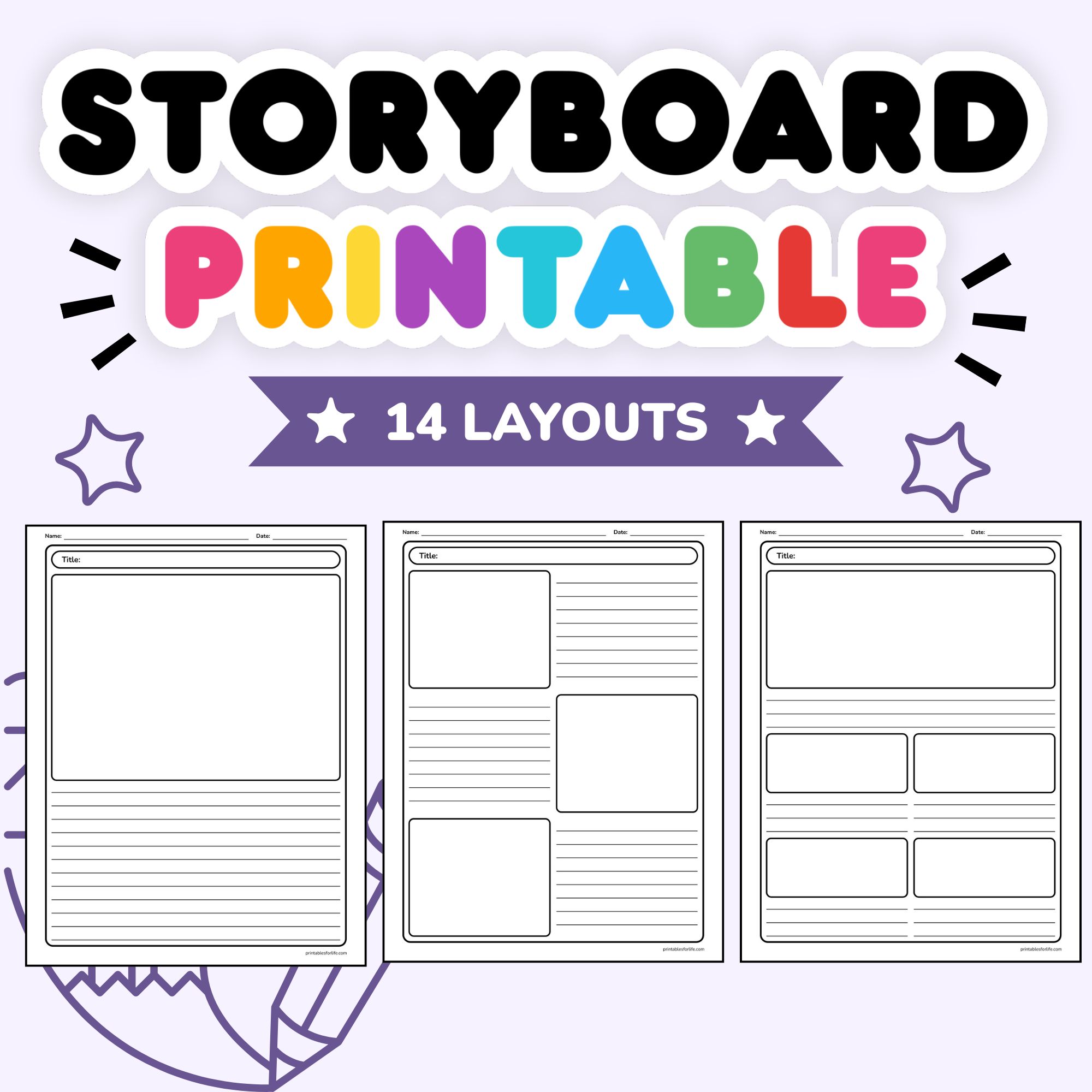
14 Free Storyboard Template Printables (PDF Download)
Free Blank US Map Printable PDF: Plus 50 States, Regions & Quiz Pages

Printable Lined Paper | Free PDF (Wide, College & Narrow Ruled)
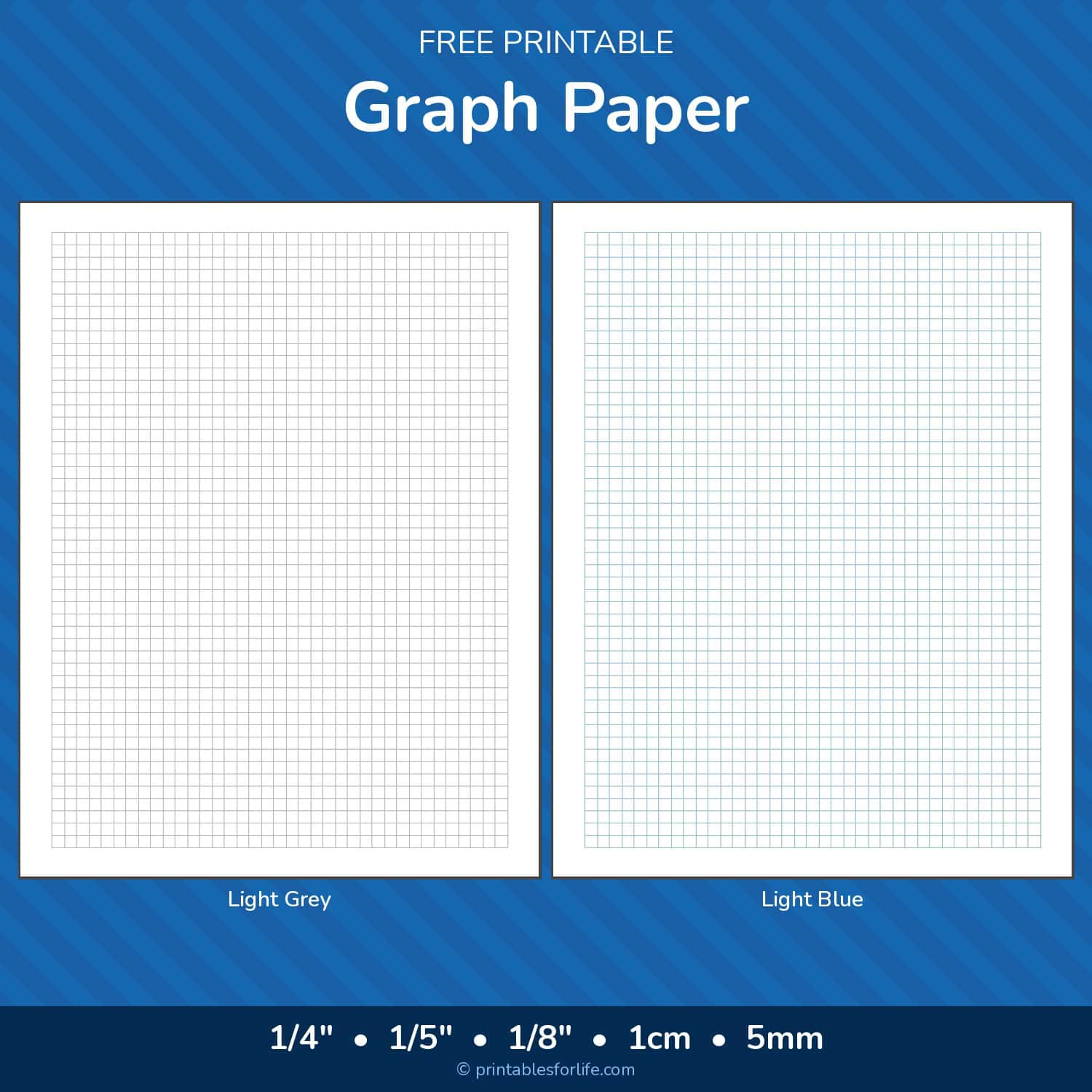
Printable Graph Paper — Free PDF (1/4″, 1/5″, 1/8″, 1cm, 5mm)

14 Free Printable Square Templates PDF Download

15 Free Circle Template Printables PDF Download
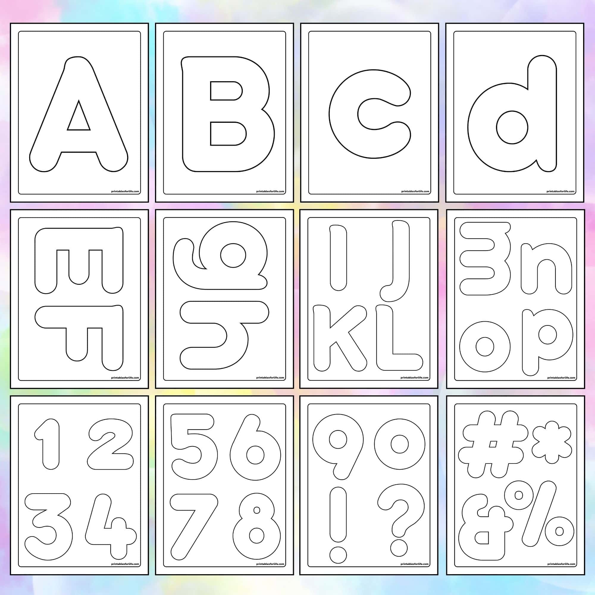
Free Printable Bubble Letters & Numbers PDF
🦀 Summer Coloring 🏖️
From our sister site colorandtrace.com
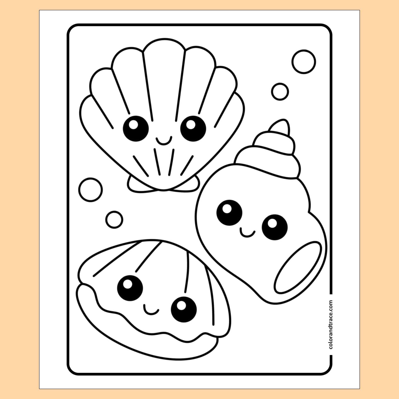
Seashells Coloring Page

Crab Coloring Page